Geographic Information Systems (GIS)
Training & Certification Program
Map the Future. Shape Your Career.
Black Tech Link’s GIS Training Institute equips learners with industry-relevant geospatial technology skills that support modern decision-making across business, government, environmental science, infrastructure, and other sectors. Through flexible short- and long-term training opportunities, participants gain hands-on experience in mapping, spatial analysis, data visualization, and geospatial technologies, along with professional mentorship and career exposure. Programs are designed to build practical workforce skills and provide a pathway toward industry-recognized GIS certification and in-demand careers in the geospatial field.
Spring 2027 Cohort At a Glance
What
16-week in-person training and certification program
Who
Adult learners and career changers interested in geospatial technology and data analytics.
When
February 1, 2027 – May 20, 2027
Where
San Diego College of Continuing Education, Educational Cultural Complex – 4343 Ocean View Blvd., San Diego, CA 92113
Cost
Free to join. All learning materials and certification costs are covered.
Support
Participants receive 1:1 career navigation and job placement support.
Application Open Soon
Apply early to secure your spot.
Why Join the GIS Training Institute?
-
Cutting-Edge Technology
Learn to use industry-standard tools like Esri ArcGIS and data visualization platforms that drive decision-making across public and private sectors.
-
Hands-On Experience
Work directly with real-world datasets that impact your community, applying GIS to environmental, business, and social challenges.
-
Free to Join
This fully funded program eliminates financial barriers while delivering professional-level training and mentorship.
-
Career Readiness
Gain an industry-recognized certification and career navigation support to enter high-growth fields such as environmental science, urban planning, or public policy.
-
Community Impact
Contribute to local data initiatives that support sustainability, equity, and infrastructure planning in the San Diego region.
Spring 2027 Cohort At a Glance
- Public Health: Mapping disease trends and healthcare access.
- Environmental Science: Tracking biodiversity and protecting coastlines.
- Urban Planning: Designing smarter, more sustainable cities.
- Emergency Response: Directing disaster relief with precision mapping.
- Business & Marketing: Analyzing customer trends through location intelligence.
Program Curriculum Overview
- Geospatial Foundations: Learn the principles of GIS mapping, spatial data, and coordinate systems.
- Data Collection & Analysis: Gain hands-on experience managing spatial data and generating insights using Esri ArcGIS.
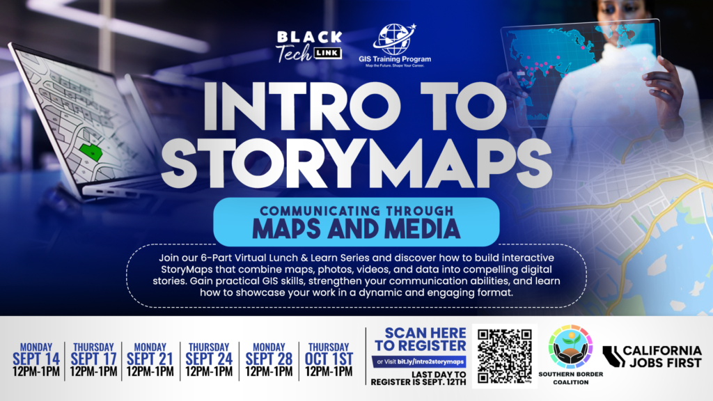
- Story Mapping: Create compelling digital narratives that communicate spatial data effectively.
- Career Development: Receive resume coaching, mentorship, and networking opportunities with GIS professionals.
Program History: Building Pathways Through GIS
The GIS Training Institute is made possible through generous support from the California Jobs First Initiative – Southern Border Region Catalyst Grant. This funding empowers Black Tech Link to expand equitable access to high-demand GIS training, industry-recognized certifications, and workforce pathways for underserved communities across the Southern Border region. Through this investment, our program provides hands-on technical instruction, career placement assistance, and entrepreneurial development opportunities that strengthen regional economic mobility and cultivate the next generation of GIS professionals and innovators.
Partnerships & Support
The GIS Training Institute is a Black Tech Link initiative supported by regional education and workforce partners, including the San Diego College of Continuing Education, California Coast Credit Union and local industry collaborators.
Organizations interested in supporting the program, developing a similar initiative, or co-hosting a training cohort are encouraged to connect with the Black Tech Link leadership team.